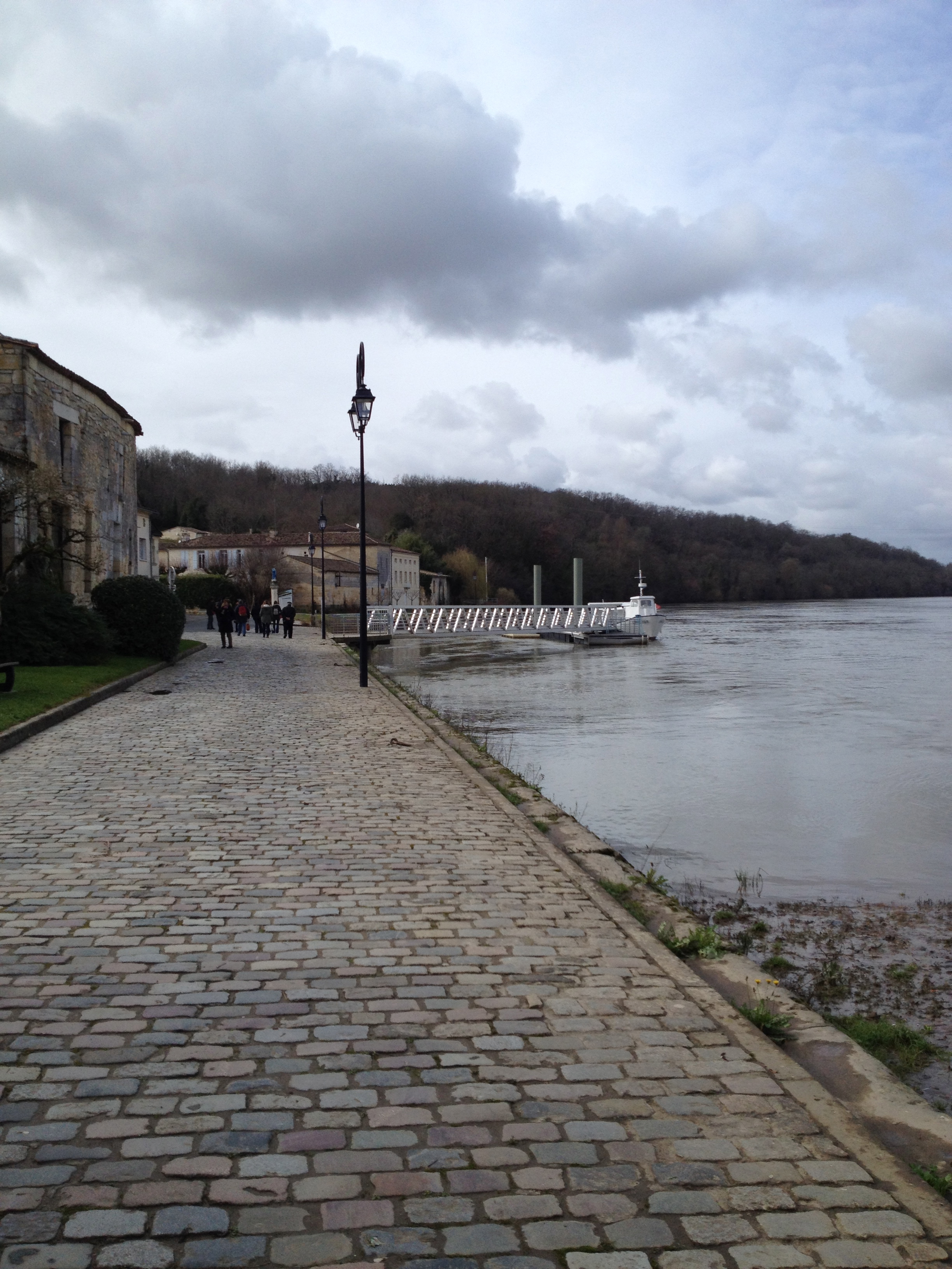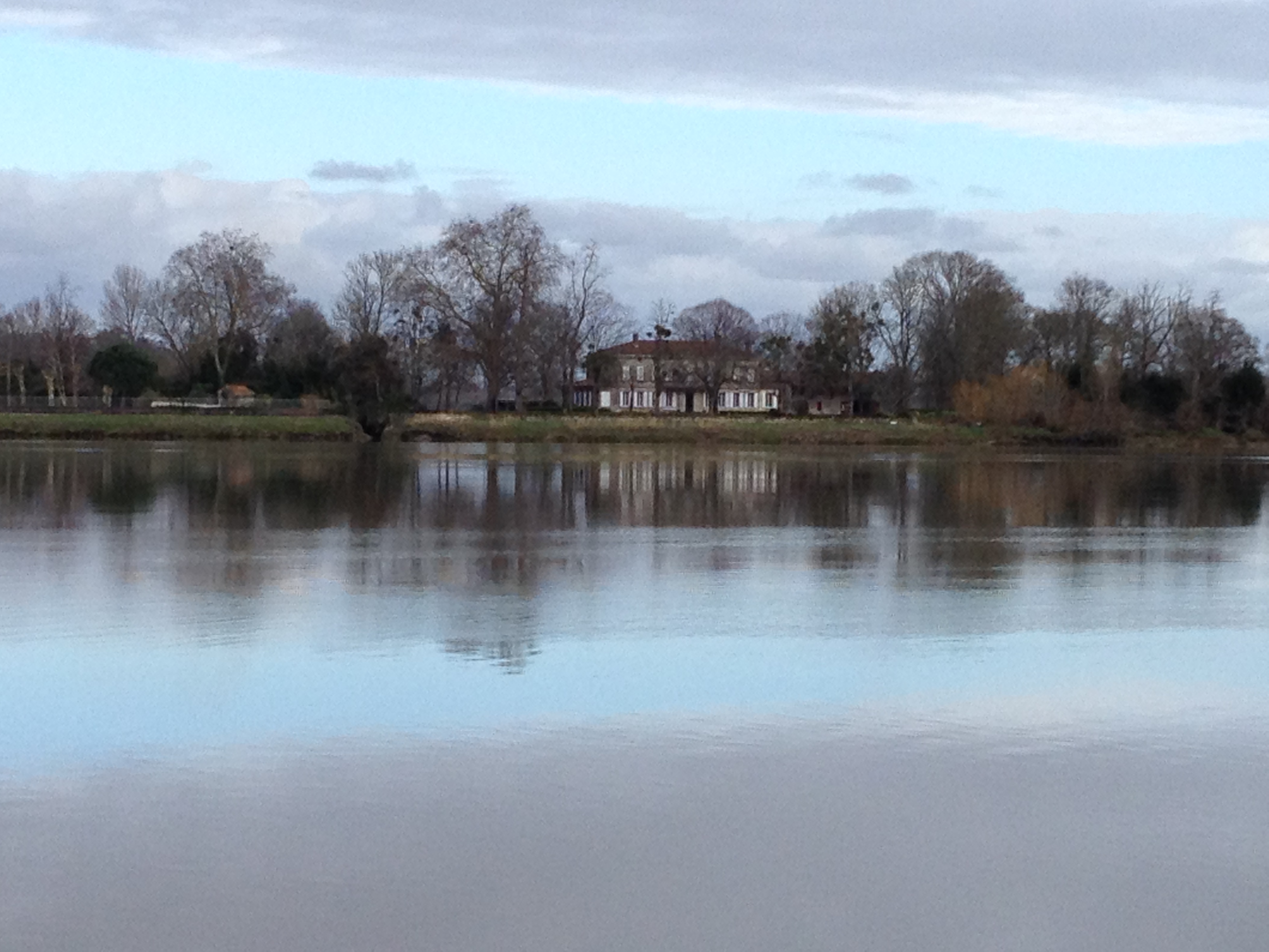
After visiting with Dominique Chaigne to talk about her excellent website http://www.coeurdecampagne.fr (in french) where she helps promote our region of Entre Deux Mers she suggested joining one of the visits she had put together for a group of local french visitors. Between two March showers I joined a friendly and well informed guide, Marie Catherine, to rediscover the banks of the Dordogne river, 10 minutes only from home. A place I know well in the summer as I organise boat trips and walks for my guests there…but rarely walk its banks this time of year. It was interesting to hear someone else talk about places where I usually do the talking…I knew about the Roman roadway that went through Entre Deux Mers but I learned that it’s noted on an ancient Roman road map dating from 300AD called the “Map of Peutinger”, now in the Austrian National Archives that you can see only a bit of in my photo…. but I found the whole long role on Youtube !